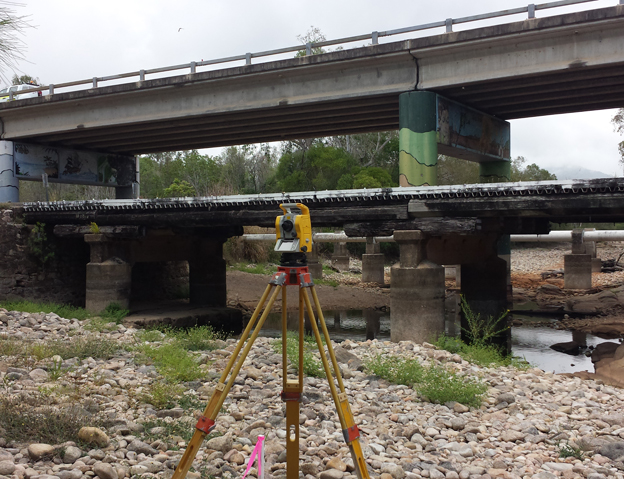
Engineering
- Detail and level surveys
- Small residential sites
- Large scale development
- Road Projects
- Rail Projects
- Engineering Projects
- Detailed Design
- Bridge Replacement
- Infrastructure Works
- Flood studies
- LiDAR and Aerial Mapping (With consultants)
- Laser Scanning and Point Cloud Surveys (With consultants)
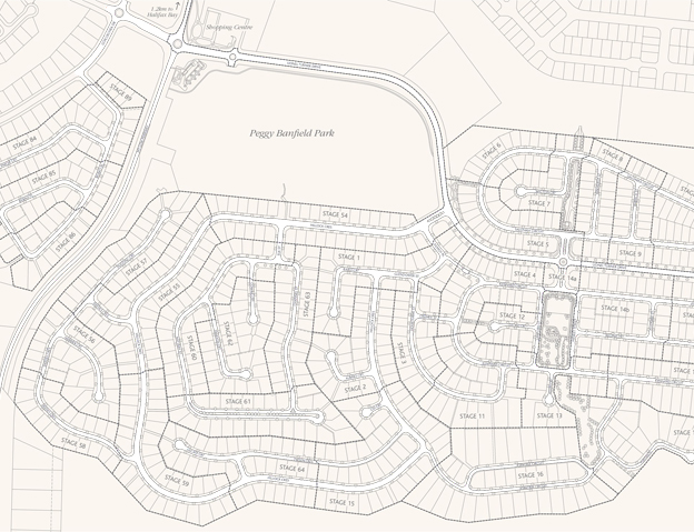
Boundary
- Large scale residential development
- Master Plans
- Boundary realignment surveys
- Subdivision Surveys
- Amalgamation Plans
- Identification Surveys
- Easement Surveys
- Lease Surveys
- Tenancies
- Licenced Areas
- Pastoral and Rolling Term Leases
- Strata Title/Building Format Surveys
- Volumetric Surveys
- Road Closures and Openings
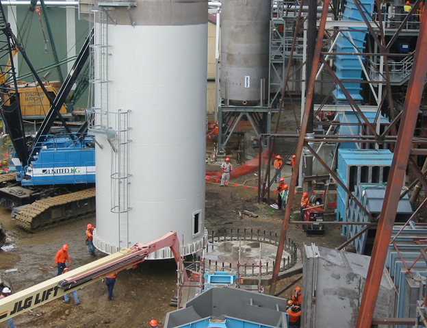
Construction
- Building Setouts
- House sites
- Zero Lot Lines
- Commercial Sites
- High Rise Buildings
- Industrial Buildings
- Location Certificates
- Council Infrastructure
- Piling
- Civil Construction
- As Constructed Surveys
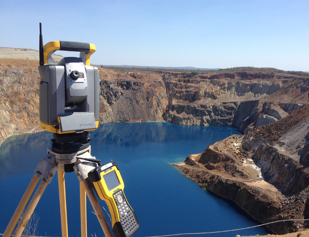
Mining and Quarries
- Stockpile Surveys
- Exploration
- Bench Setout
- Mining Leases
- Extraction Volumes
Solar Farms
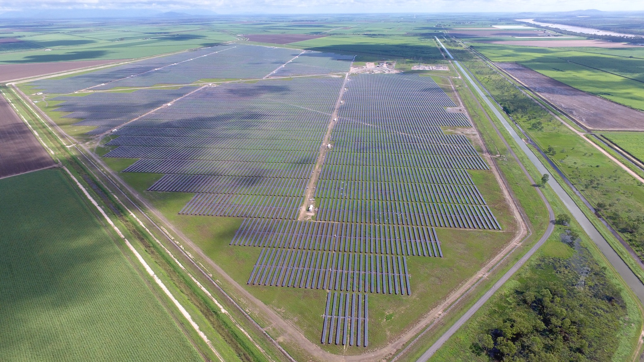
Rowlands Surveys have completed a 100MW solar farm in Clare for Downer Group and a small scale solar farm for the Normanton Power Station for Scouller Energy. Rowlands understand the requirements and processes required to construct a large solar farm. Our involvement at the Clare Solar Farm ranged from design, site establishment, cadastral surveys, site […]
UAV/Drone Surveying and Mapping
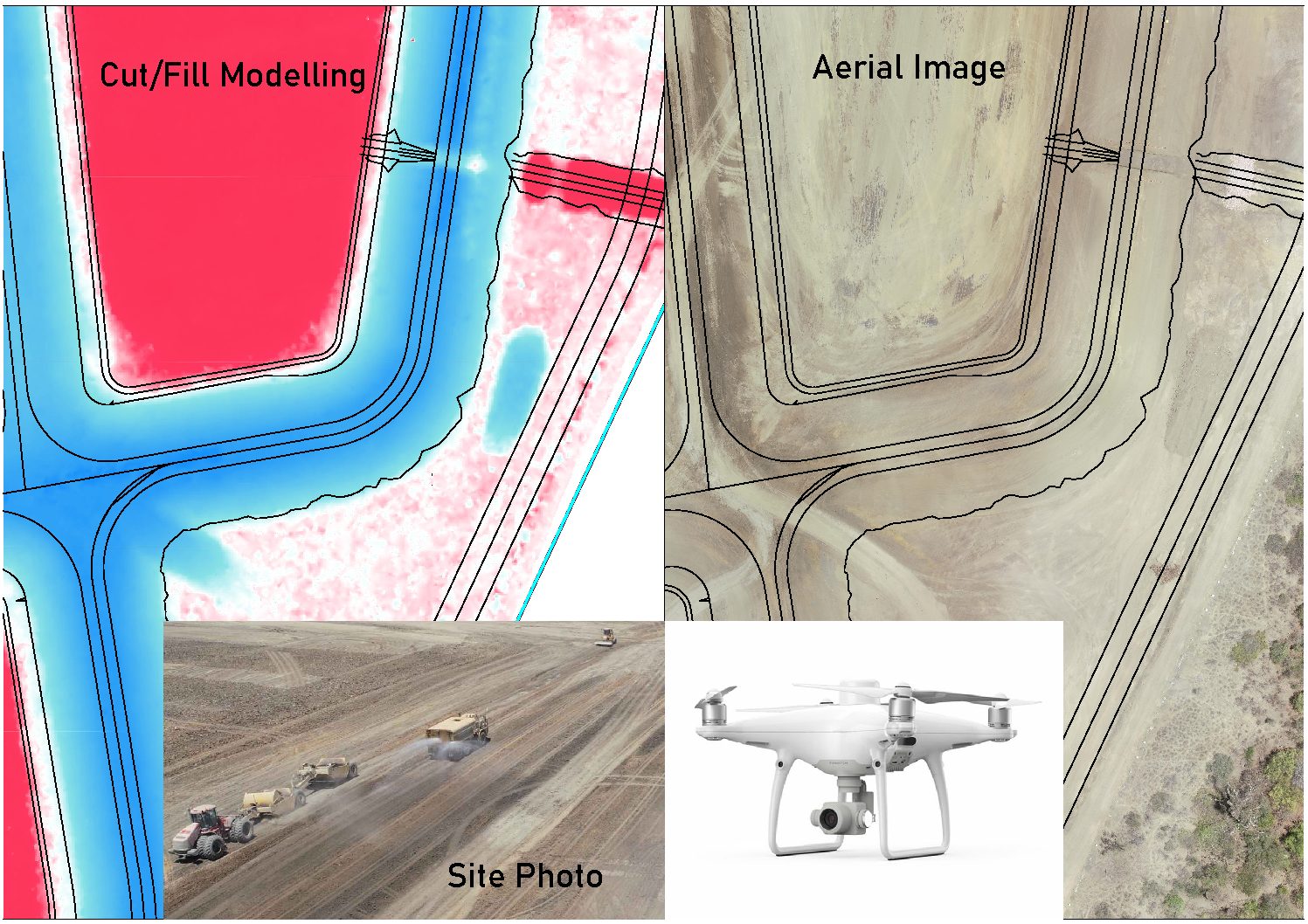
Rowlands Surveys have the capability to capture precise measurements and highly accurate ortho-rectified site images from our UAV / drone fleet. From this data 3D models, point clouds and site maps can be rapidly produced in house. The benefit of a surveying firm managing aerial mapping services is that the survey is tied to the […]